Vic City Council
Habitat and vegetation cartography of the municipality at scale 1: 10.000
-
Start Date: 01/01/2017
End Date: 20/12/2017
-
Project website: mediambient.vic.cat/medi-ambient/anella-verda/estudi-habitats-i-vegetacio-dels-terme-municipal
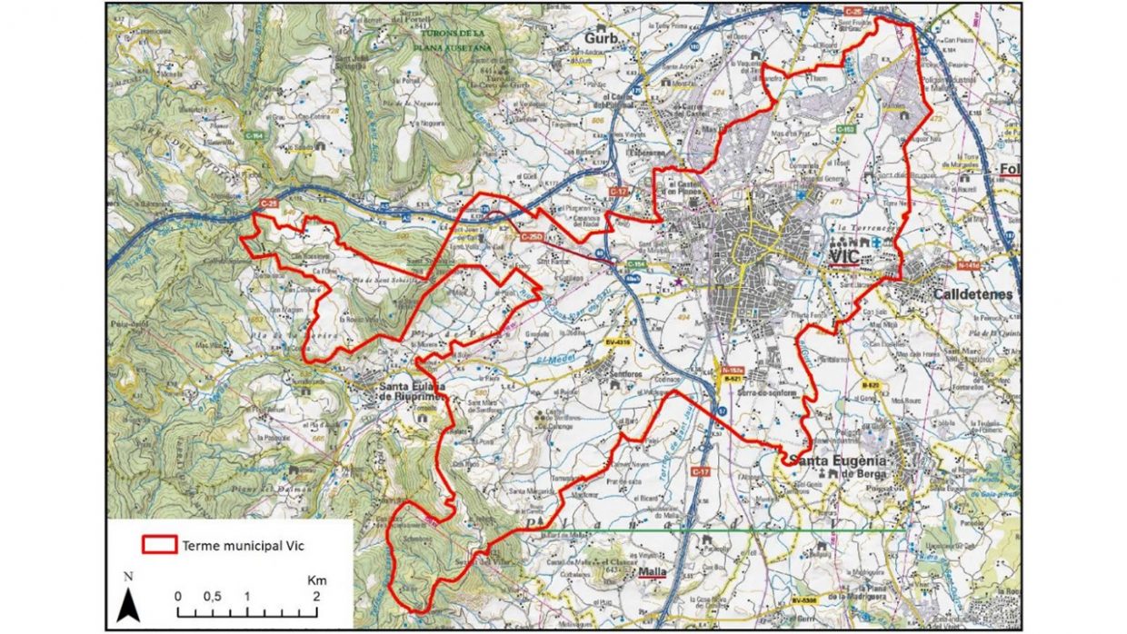
Together with the Vic City Council, the BETA technological Centre elaborated a detailed mapping (at a scale of 1: 10,000) of CORINE habitats, habitats of community interest (HIC) and the vegetation of the municipality of Vic. The aim of the collaboration was to incorporate this information to the process of developing a new urbanistic plan (POUM), but also with the vision to obtain a reference tool for the future management of river, agricultural and forestry areas around the city.
An exhaustive floristic catalogue of the municipality was also created, to identify elements of special interest for conservation.
The results achieved can be a good basis from which to articulate new local policies for the conservation of biodiversity or to move towards a more environmentally friendly regulation of certain activities in their rural environment.
You can find and download the documents here (in Catalan)